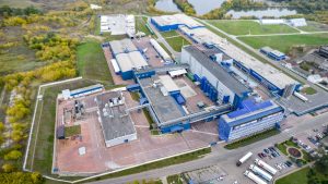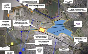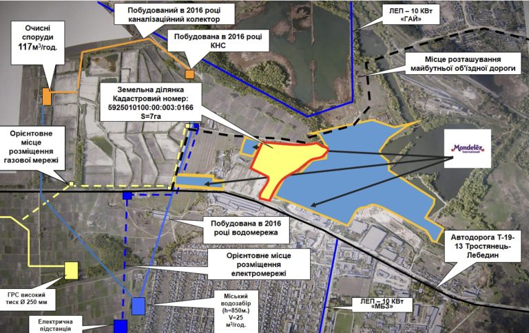
Green field type land plot within the Trostyanets industrial park.
The shape of the land plot is determined by the relevant land management documentation. The land plot is included in the national cadastral system, has a specific area, dimensions and coordinates with the assigned cadastral number 5925010100:00:003:0166.
The relief is gentle.
The mark above sea level is 146.4 m.
The difference between the highest and lowest elevations of the plot is 6.1 m.
From the north, the land plot borders the territory of the Trostyanets industrial park. From the east, the land plot borders the territory of PrJSC Mondelez Ukraine. From the south, it borders the land plot with the cadastral number 5925010100:00:003:0165.
Classification of the type of intended purpose of the land plot: 11.02 – for the placement and operation of main, auxiliary and auxiliary buildings and structures of processing, machine-building and other industrial enterprises.
Form of land transfer to the investor: Lease for up to 49 years with the right of subsequent redemption.
The approximate cost of selling the land plot is 50-70 UAH. per 1 m2. An accurate calculation of the cost of selling the land plot is possible only after the preparation of an expert monetary valuation of the land.
The normative monetary valuation of the land plot is 13995800.00 UAH.
The annual rent when establishing the minimum rent (3% of the normative monetary valuation of the land) is 419874 UAH (or 6 UAH. per 1 m2).
The distance to the railway station “Smorodyne” of the Southern Railway, which is located in the city and is one of the significant railway hubs of the Sumy region, is 3.6 km. However, at a distance of 30 m from the southern border of the land plot there is a railway branch serving PrJSC “Mondelis Ukraine”.