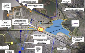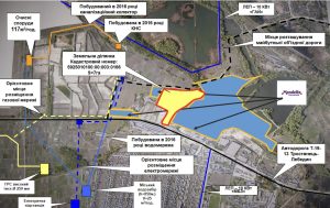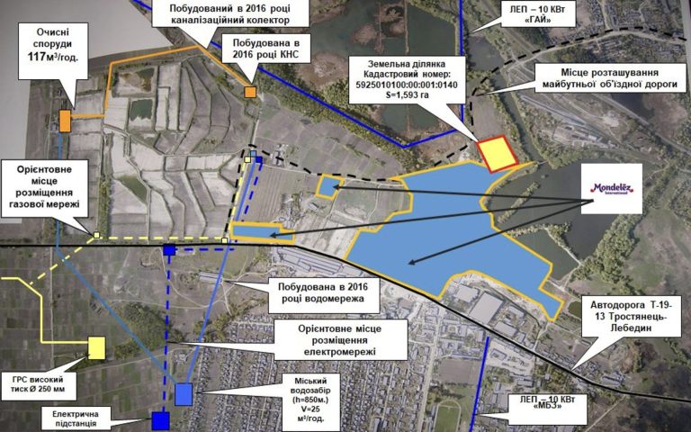
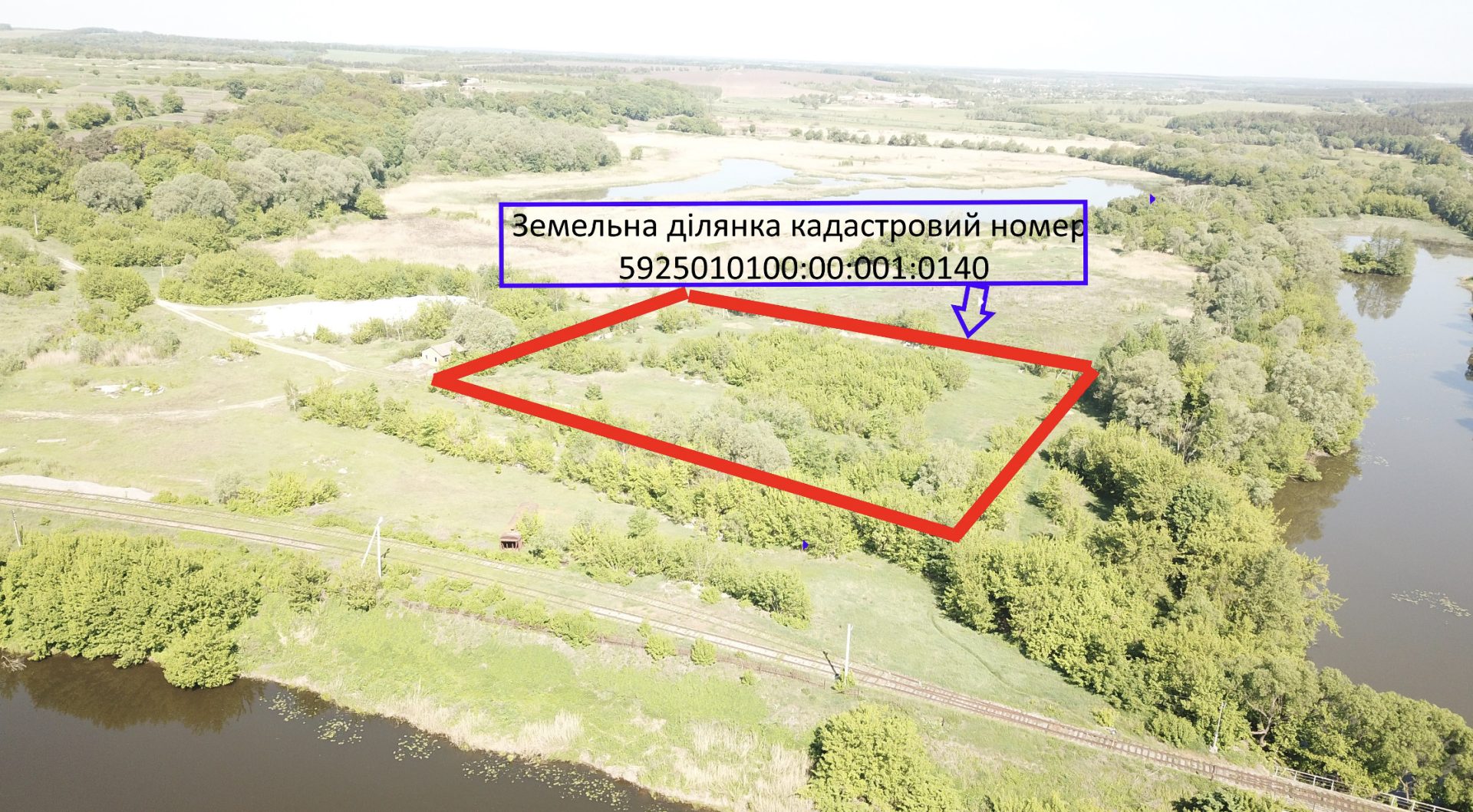
Green field type land plot within the Trostyanets industrial park.
The shape of the land plot is determined by the relevant land management documentation.
The land plot is included in the national cadastral system, has a specific area, dimensions and coordinates with the assigned cadastral number 5925010100:00:001:0140.
Relief – gentle.
Elevation above sea level – 116.1 m.
The difference between the highest and lowest elevations of the site – 0.8 m.
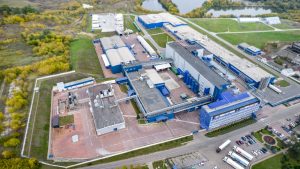
From the north, the land plot borders the territory of PrJSC “Mondelis Ukraine”.
The right of communal property is registered under No. 3607136 dated 11/29/2013 according to the Extract from the State Register of Real Property Rights to Real Estate No. 13681524 dated 11/29/2013.
Cadastral number: 5925010100:00:001:0140.
Classification of the type of intended purpose of the land plot (name, KVTSPZ code): 11.02 – for the placement and operation of main, auxiliary and auxiliary buildings and structures of enterprises of processing, machine-building and other industries.
Form of land transfer to the investor: Lease for up to 49 years with the right of subsequent redemption.
The approximate cost of selling the land plot is 50-70 UAH. per 1 m2. An accurate calculation of the cost of selling the land plot is possible only after the preparation of an expert monetary valuation of the land.
The approximate normative monetary valuation of 1 m2 is 100 UAH., respectively, the total normative monetary valuation of the land plot will be 1593000 UAH.
The annual rent when establishing the minimum rent (3% of the normative monetary valuation of the land) will be 47790 UAH (or 3.00 UAH. per 1 m2).
The distance to the railway station “Smorodyne” of the Southern Railway, which is located in the city and is one of the significant railway hubs of the Sumy region, is 3.6 km. However, at a distance of 30 m from the southern border of the land plot, there is a railway line serving PJSC “Mondelis Ukraine”.